Land Dispute Record
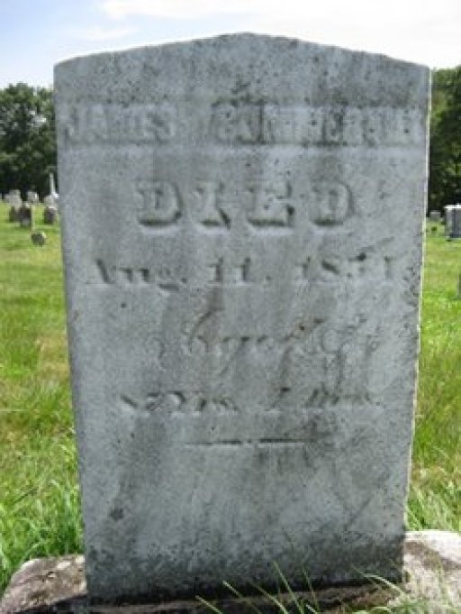
Adjoining the Linnington-Titus tract on the west and 'Mt. Lorenzo' on the north is a hexagonal tract, 410 acres on the Gapen map, which had been surveyed by Gapen to 'Samuel Parr', on which James Simmeral made an improvement and settlement, March 5, 1796, which was surveyed to him by deputy surveyor Ross, July 6, 1801, which survey was disputed by Hugh Lennington to whom and Archibald McCall it was resurveyed '411 acres 8 perches', March 14, 1805, by virtue of previous improvement and settlement with 200 acres of which and 4 cattle, James Simmeral was assessed in 1805-6 at 82 dollars. Its central part is traversed in a westerly course by Lennington Run. It is not apparent from the records whether Hugh Lennington abandoned or sold his claim. The patent for the entire tract was granted to McCall & Simmeral as tenants in common, Oct. 29, 1829. They made partition and McCall conveyed to Simmeral 212 acres and 25 perches June 26, 1832, on which the latter (Simmeral) and his family resided until his death. By his will dated Sept. 18,1841, and his codicil dated Sept. 9, 1851, and registered Aug. 19, 1854, he directed his executors, John Craig and Thomas McCullough to sell 99 acres of the eastern part of the tract and divide the money equally among six of his sons and two of his daughters, which those executors accordingly conveyed to James, John, Joseph, and Josiah Somerville, May 22, 1856, for $1800. The Testator devised 100 acres 'off the south side of the Mansion tract' to his daughters, Fanny and Hannah. On May 17, 1817, James Summerville bought 99 and three-quarter acres from Isaac Lennington for 455 dollars. This land was east of Simmeral's original tract. McCall sold 100 acres of his land to Ann O'Connor March 14, 1843 for $800 and she sold 26 acres and 133 perches to Azel Summerville on March 31, 1846 for $707. Azel later sold this land to William Younkins on April 9, 1868.
